Efficient field logistics every time!
Leveraging the power of geolocation data & intelligence for the enhancement of field campaigns.
Plan. Monitor. Evaluate.

 What is PlanFeld?
PlanFeld is a mobile and web-based application that helps you plan field logistics for public health interventions.
PlanFeld makes all aspects of field logistics easier for all types of field activities, including large-scale data collection exercises and health service delivery. PlanFeld is an easy to use and highly intuitive tool that removes all the technical details, making it easy for users to use all the advanced Analytics and geospatial data to generate robust plans, monitor field interventions, and make improved decisions in near real-time.


How can PlanFeld help you
Improve efficiency of planning campaigns
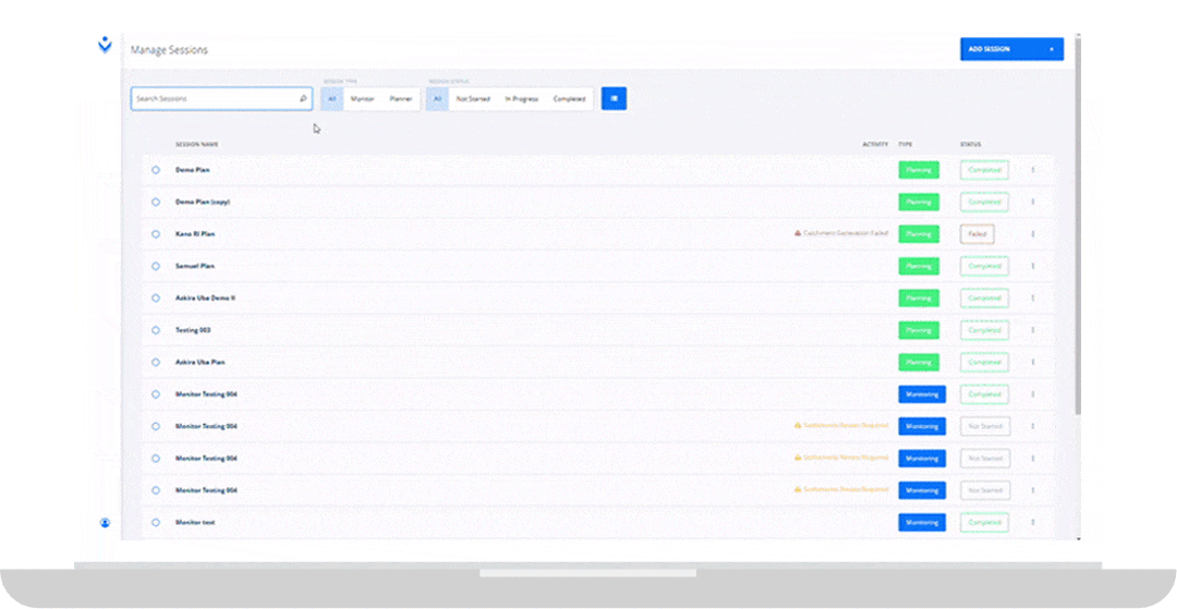
Planning interventions no longer have to take hours and days of manually cross-checking data from several sources. Within minutes, Planfeld can generate robust plans that provide resource allocation suggestions that match the intervention requirements with the supply of resources and capacity of the field teams. With the Planner module, users can use geospatial data and other datasets to generate detailed daily plans that will optimize all available resources and reach the intended target audience and locations
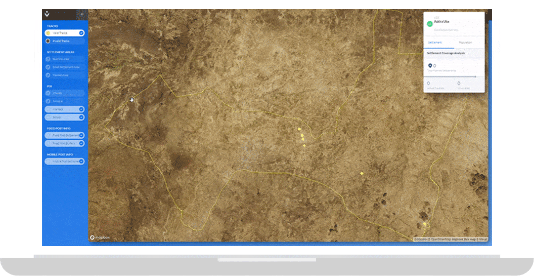
Reduces turnaround time for progress of remote activities
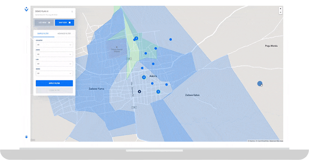
Ensuring that your field intervention is on track is easier with the Monitor module on Planfeld. Using GPS coordinates, users can verify visitations and service delivery of their field teams and see coverage progress near-real-time on maps and charts.
Eliminates the potential for missing planned coverage areas
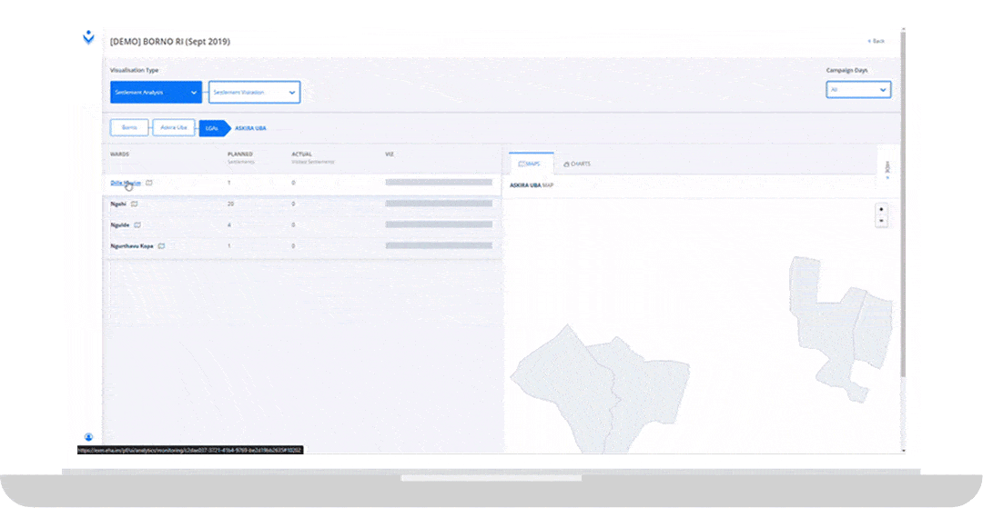
Measure the performance of each field activity with the reporting and visualization templates in Planfeld. Users can define indicators to assess performance and get insightful analytics into outcomes of planning and monitoring field activities. These reports can also be downloaded and exported as needed.
Easy to use, no GIS technical expertise required
- Cloud based software accessible anywhere in the world.
- Visual interface to generate custom plans, maps and reports.
- Generate and download reports using simple drag and drop features.
- Color coded administrative levels to differentiate common names.
Access to the most up to date geodatabase in Nigeria, with up to date location information.
- Over 353,292 points of interest and 451,743 settlements available for Nigeria.
PlanFeld empowered some of the world's best organizations

